
Author: Incredible Moments Daily Editorial Team
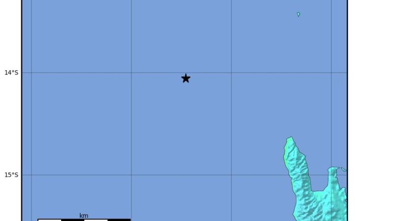 Map: USGS ShakeMap (public domain)
M6.9 Earthquake Hits Off Vanuatu; Tsunami Threat Lifted
A shallow magnitude 6.9 earthquake struck in the sea off northern Vanuatu on Saturday, Oct. 24, followed minutes later by a magnitude 6.3 and dozens of smaller shocks. Tsunami warning centers first reported 7.2 before revising the figure down.
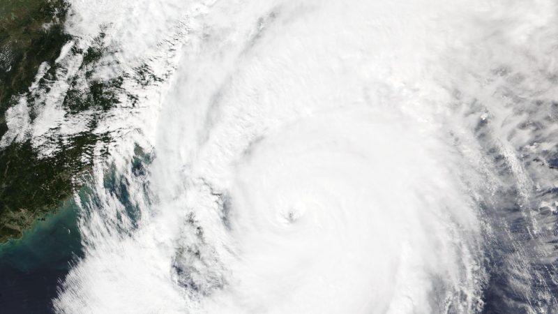 Image: NASA Worldview / NOAA-20 VIIRS
Typhoon Champi Sweeps Past Taiwan: 1 Dead, Hundreds Injured
Typhoon Champi brought damaging winds and record-level rain to northern and northeastern Taiwan on Oct. 22-24 before moving away. Injury counts rose through the storm, so each figure below is tied to its source and time.
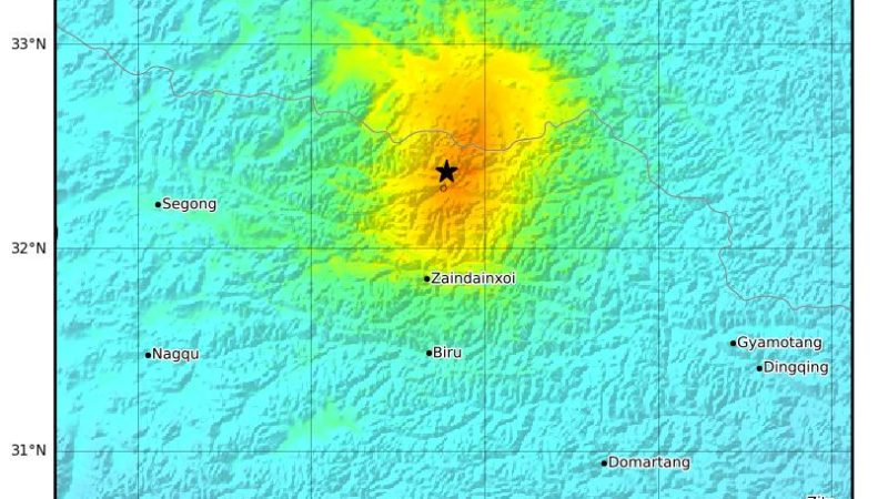 Map: USGS ShakeMap (public domain)
Magnitude 7.0 Earthquake Strikes Tibet; China Reports 16 Dead
A magnitude 7.0 earthquake struck a high-altitude, thinly populated part of Tibet on Thursday night. Chinese authorities say 16 people died and 76 were hurt, while an exile administration cites reports of at least 20 deaths. Neither count can be independently verified.
 Photo: ZLEA / Wikimedia Commons, CC BY-SA 4.0
Small Plane Crashes on San Jose Road; 3 Hurt, FAA Probes Cause
A single-engine Cessna went down on a San Jose expressway minutes after leaving Reid-Hillview Airport on Oct. 17. All three people aboard were hospitalized, and the cause has not been determined.
 Photo: Ahunt / Wikimedia Commons (public domain)
Pilot Lands Small Plane on I-80 Near Reno; No Injuries Reported
A single-engine Seawind 3000 came down on westbound Interstate 80 near Patrick, Nevada, minutes after taking off from Reno. The pilot was the only person aboard, and no injuries were reported.
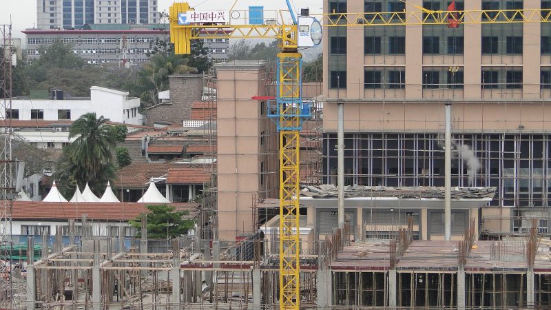 Photo: SuaveKevinKariuki / Wikimedia Commons, CC BY-SA 4.0
Nairobi Building Collapse: Search Goes On in Eastleigh
A building under construction came down in Eastleigh, a busy Nairobi commercial district, on Friday afternoon. Rescuers were still searching the rubble on Saturday, and officials have not confirmed any deaths.
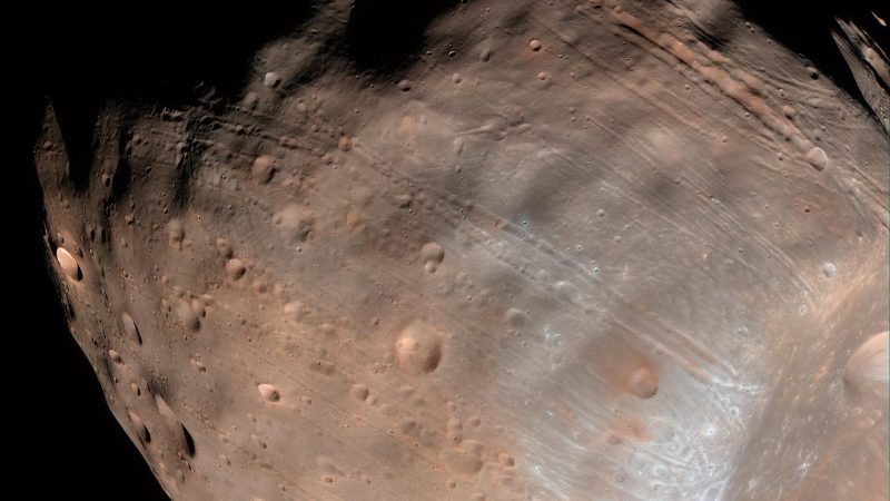 Photo: NASA/JPL-Caltech/University of Arizona (public domain)
MMX Launch: Japan’s Spacecraft Heads to Mars’s Moon Phobos
JAXA's Martian Moons eXploration spacecraft left Earth on an H3 rocket on Oct. 19 UTC. It aims to orbit Phobos, collect a sample and return it to Earth in 2031.
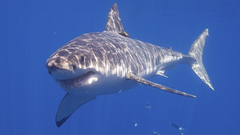 Photo: Elias Levy / Wikimedia Commons, CC BY 2.0
Shark Breaches Behind Woman at Marina State Beach, California
A shark launched almost completely out of the water just behind a woman posing for photos at Marina State Beach on Oct. 17. California State Parks says it independently confirmed a breach, and no one was hurt.
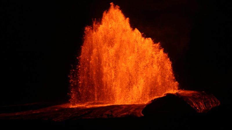 Photo: U.S. Geological Survey / B. Wenzel (public domain)
Kilauea Episode 55: Lava Fountain Reached 720 Feet
Kilauea's summit eruption is paused after episode 55, which sent a lava fountain to about 720 feet on Oct. 17. Here is what an "episode" means, what the Hawaiian Volcano Observatory reports now, and how it is forecasting the next one.
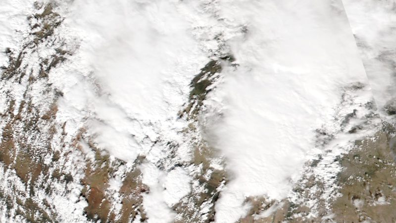 Image: NASA Worldview / NOAA-20 VIIRS
Historic Four Corners Flooding Forces Rooftop Rescues in New Mexico
Days of heavy rain pushed the San Juan and Animas rivers to historic levels around Farmington, New Mexico, prompting evacuations and rooftop rescues. Here are the latest official figures, with times, and what forecasters expect next.